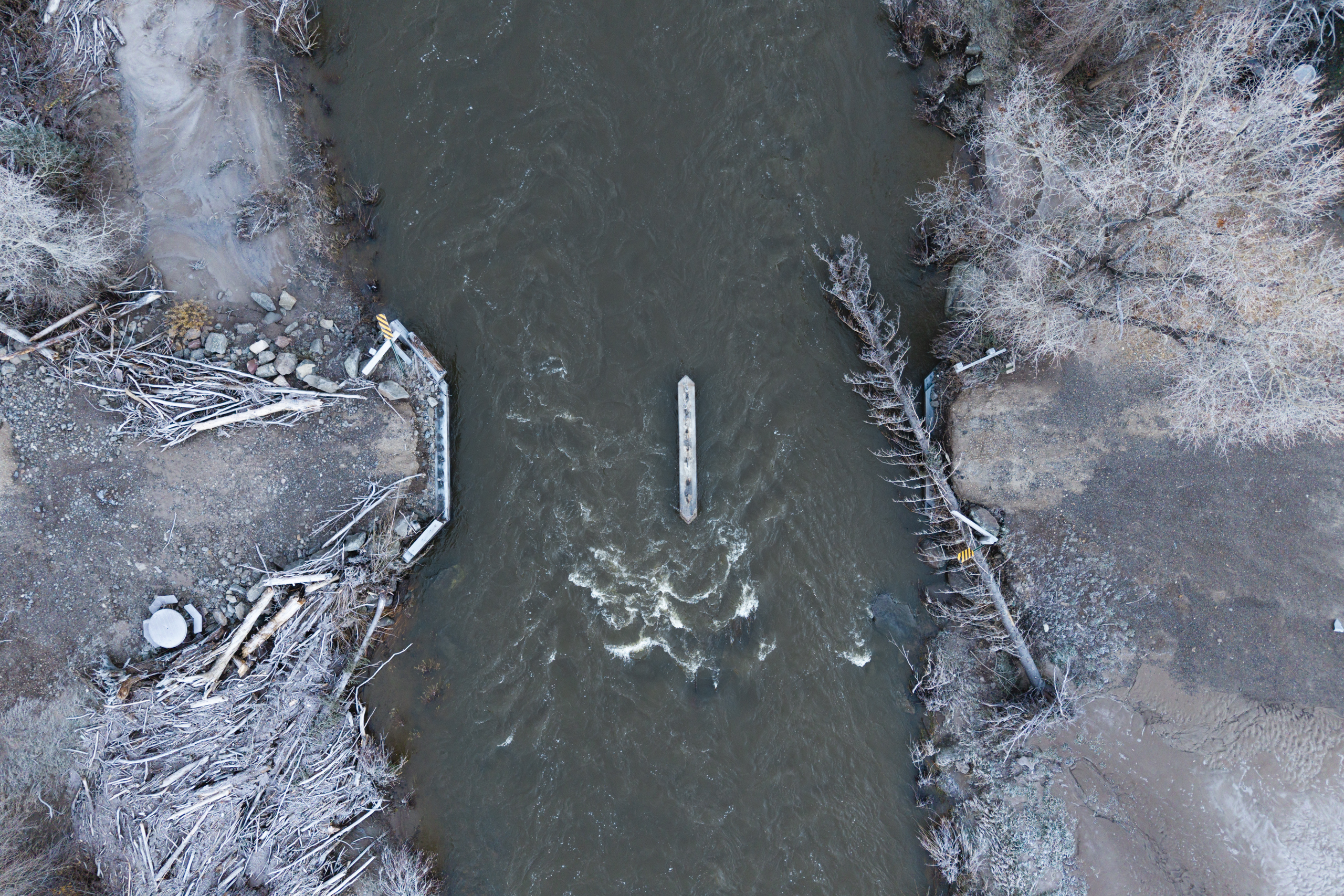
 Second storm sends San Juan toward a crest 4 feet above Pagosa Springs' 1911 recordA week after last week's floods, a new storm is forecast to drop 1 to 3 inches of rain on southwest Colorado, and the National Weather Service in Grand Junction now expects the San Juan River at Pagosa Springs to reach 21.84 feet by late Sunday, against the 17.8-foot crest of the 1911 flood that destroyed much of the town and about 15 feet last week.
A week after last week's floods, a new storm is forecast to drop 1 to 3 inches of rain on southwest Colorado, and the National Weather Service in Grand Junction now expects the San Juan River at Pagosa Springs to reach 21.84 feet by late Sunday, against the 17.8-foot crest of the 1911 flood that destroyed much of the town and about 15 feet last week. The river stood near 10.5 feet, just above flood stage, on Sunday afternoon. Archuleta County told residents along the San Juan, Rio Blanco, Navajo and Piedra rivers to leave immediately, with evacuation orders also in Rio Grande and Conejos counties; Pagosa Springs closed to incoming traffic and La Plata County shut all its roads. The sheriff warned that helicopters would be grounded and response capacity extremely limited at the storm's peak, the Colorado Sun reports.
Why it matters: A forecast crest this far outside the historical record, arriving before the first flood's damage is repaired, is the compounding-event pattern the trend points to; the crest itself was not yet observed at publication.